TAMPA, Fla. (WFLA) — Hurricane Milton is expected to make landfall along Florida’s Gulf Coast as a Category 4 storm around 2 a.m. on Thursday.
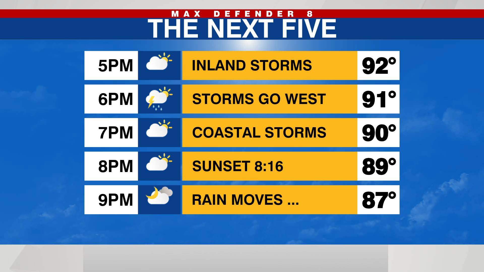
Starting Wednesday afternoon, rainfall, heavy wind gusts, and power outages will begin.
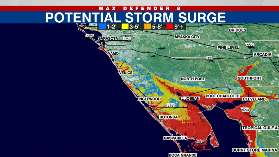
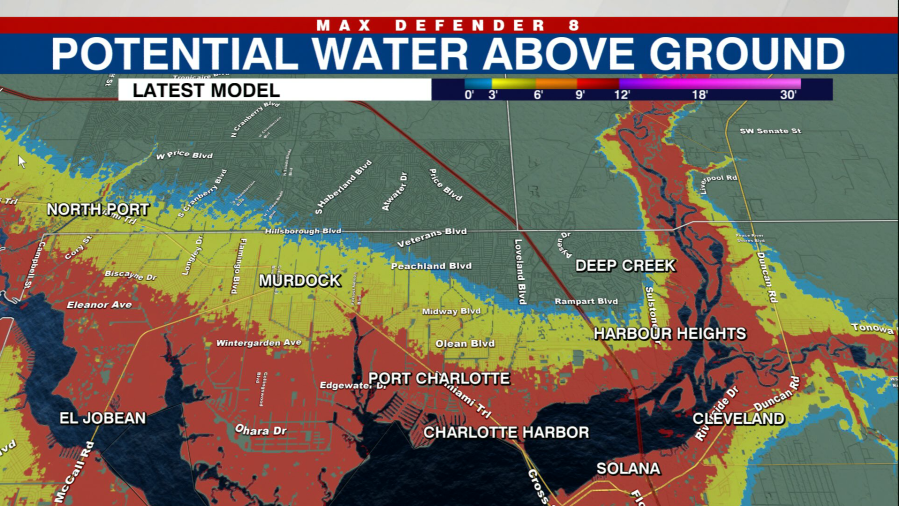
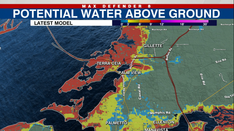
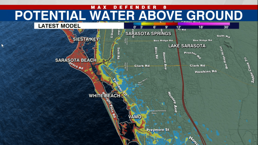
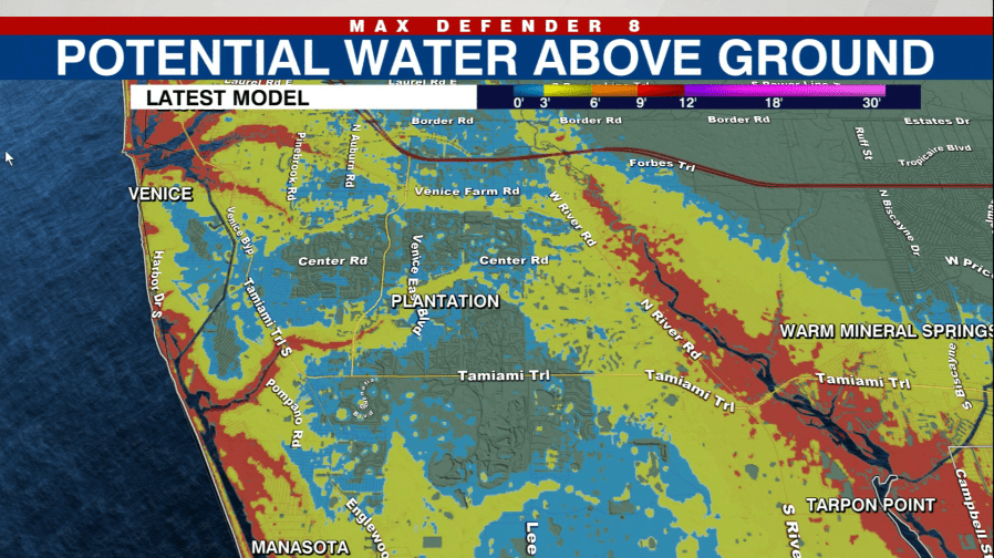
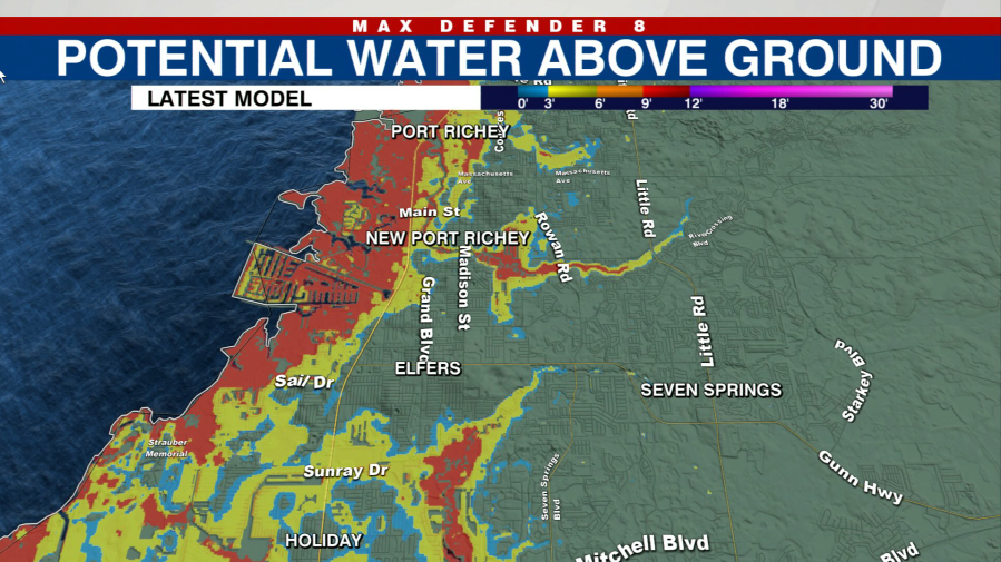
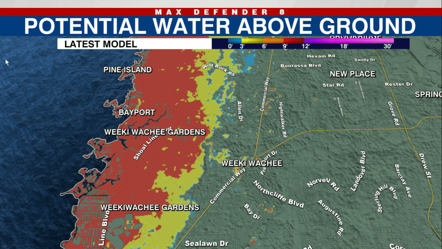
As the Milton makes landfall, storm surge of 10-15 feet is expected in areas within 50 miles south of the eye of the hurricane.
“As Milton tracks inland, hurricane-force winds reach east of I-75 and into Polk County by early Thursday morning. There will be a path just north of the eye that receives 12-18 inches of rainfall. This rainfall accumulation will likely lead to flooding into homes,” Max Defender 8 Meteorologist Leigh Spann said.
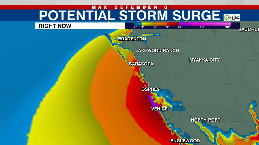
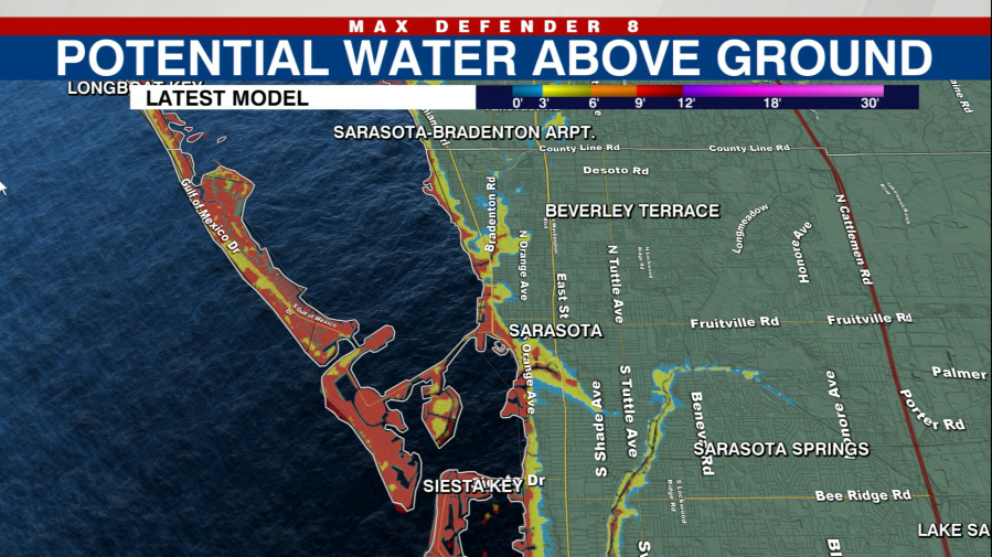
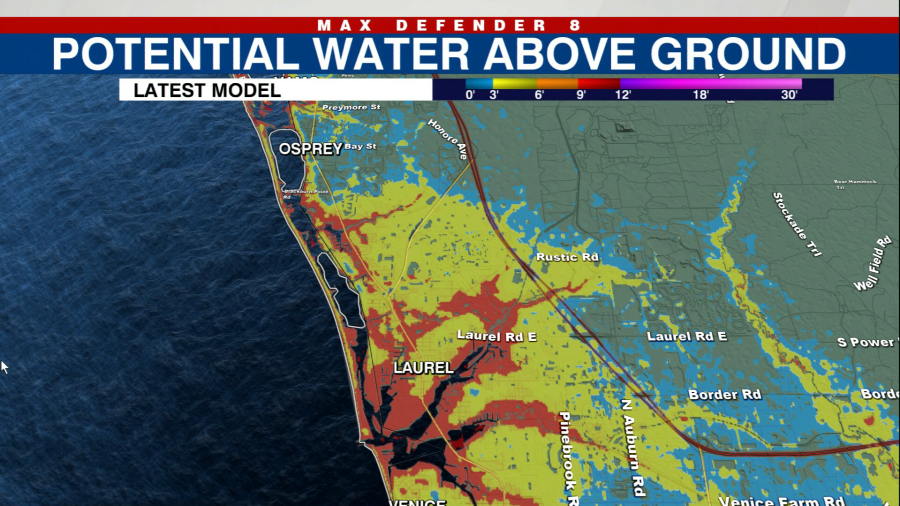
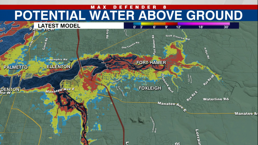
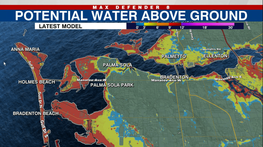
“The wind direction will be key throughout the storm as it moves inland,” Max Defender 8 Meteorologist Amanda Holly said. “With a landfall in Sarasota or Manatee County, the highest 10-15 feet of storm surge will be felt in Sarasota Bay and points southward through Charlotte Harbor.”
If Milton makes landfall south of Tampa Bay, the wind direction will not push as much water into the bay but some areas will see flooding due to the shape of the coastline.
The NHC also has an interactive map that is updated as live hurricane updates are issued.
Sarasota County
Manatee County
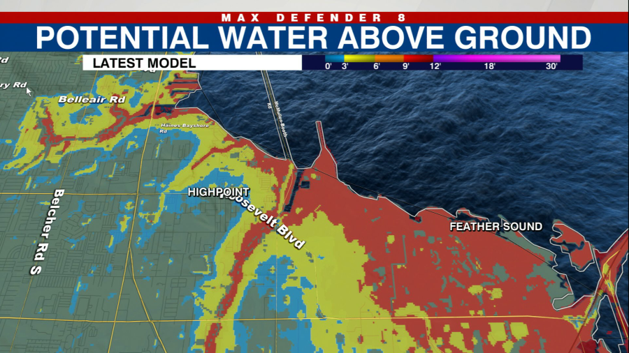
Hillsborough County
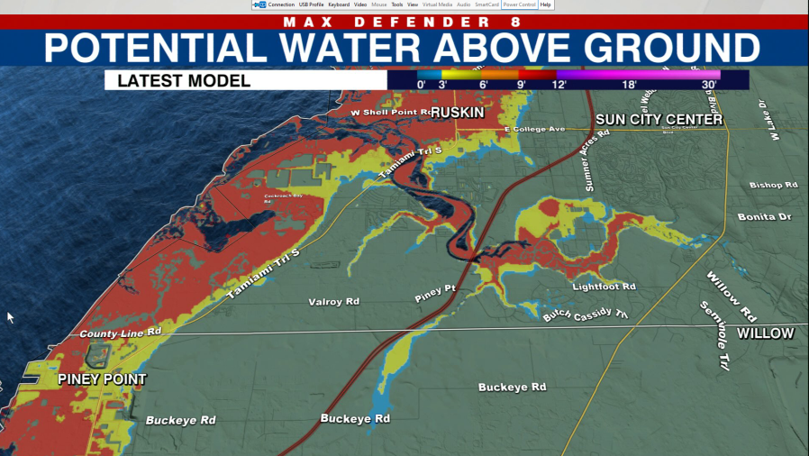
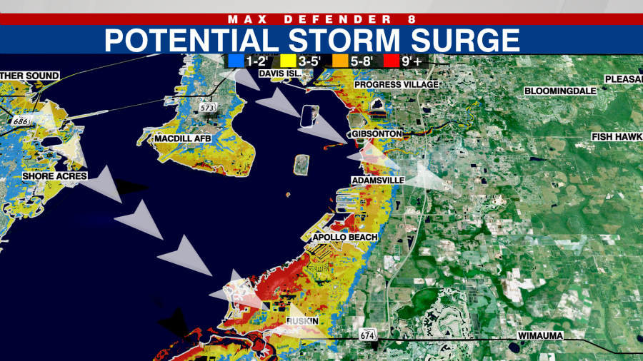
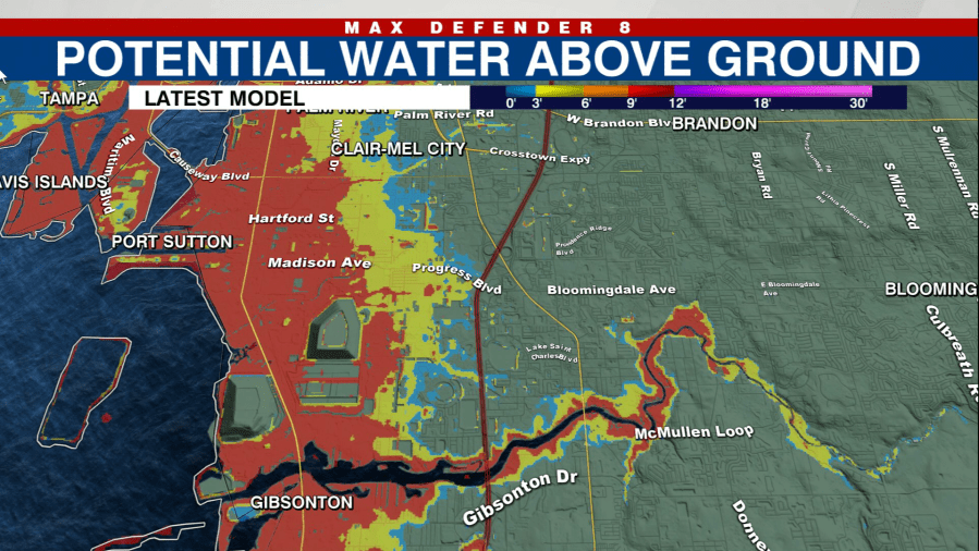
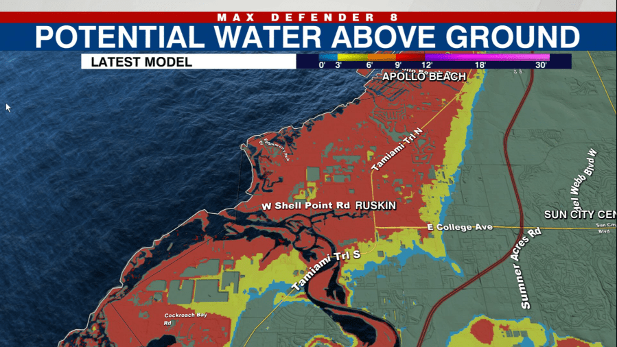
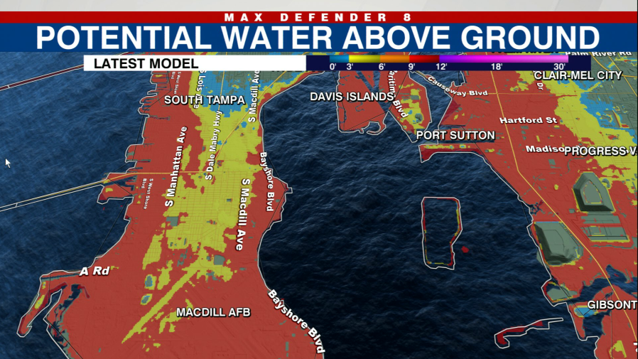
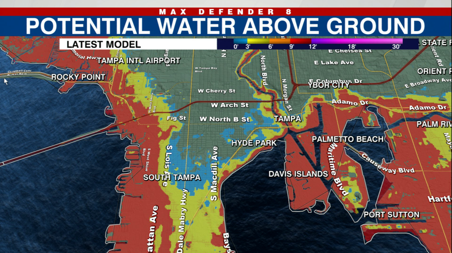
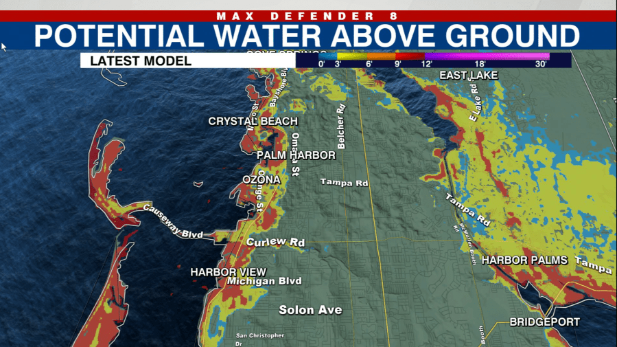
Southern Hillsborough County will see a strong push of water when the winds switch out of the northwest. Forecast models predict more than 9 feet of surge from the port down through Apollo Beach and Ruskin.
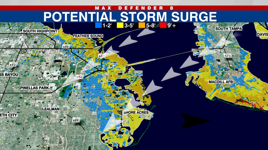
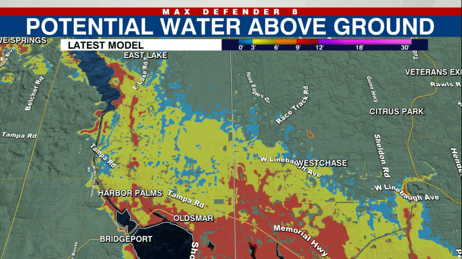
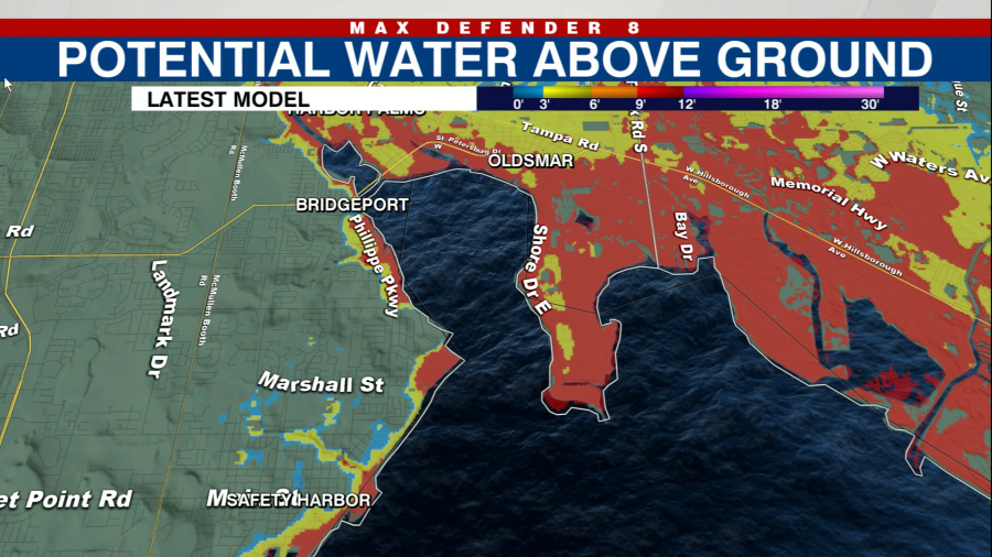
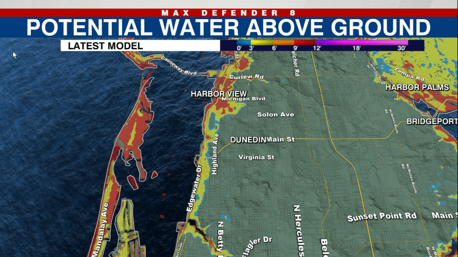
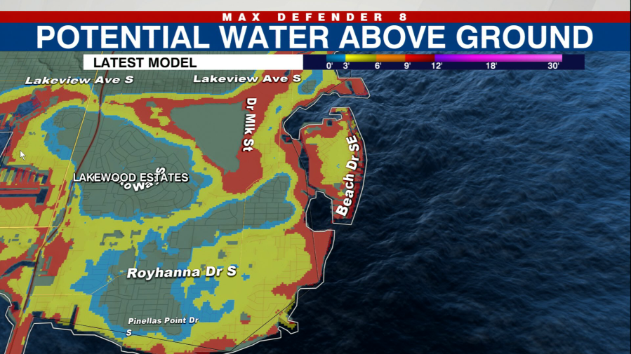
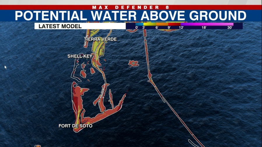
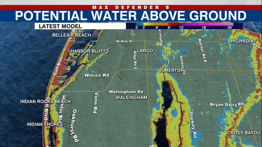
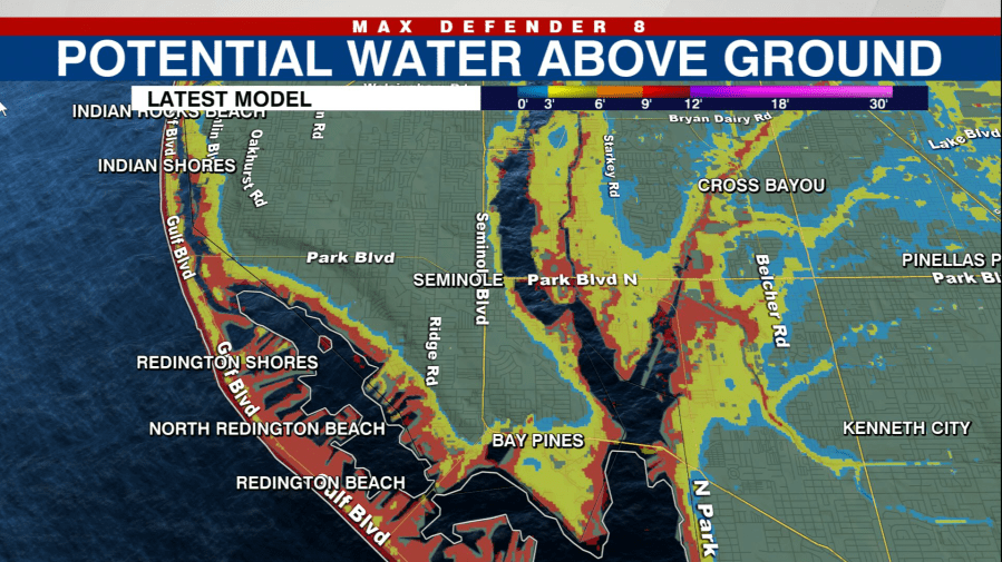
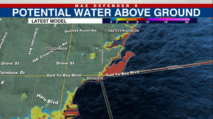
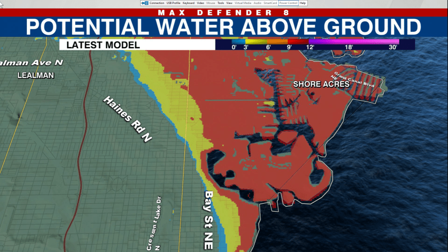
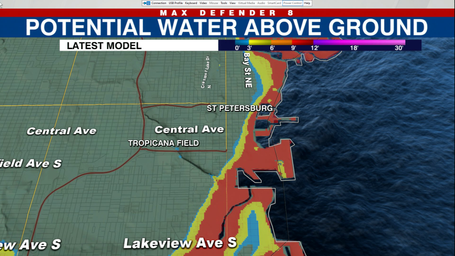
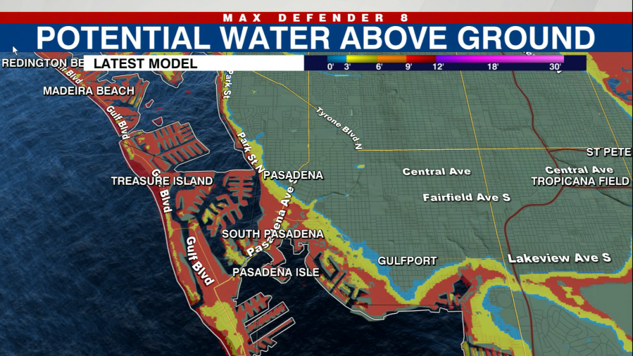
Inside the bay in Pinellas County, residents can expect a strong push of water, as forecast models are calling for up to 8 feet of surge.
Pinellas County
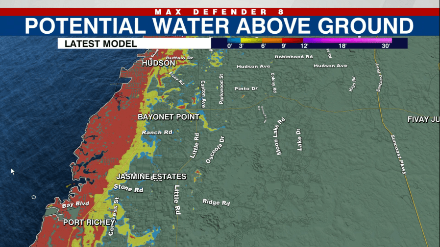
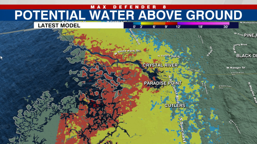
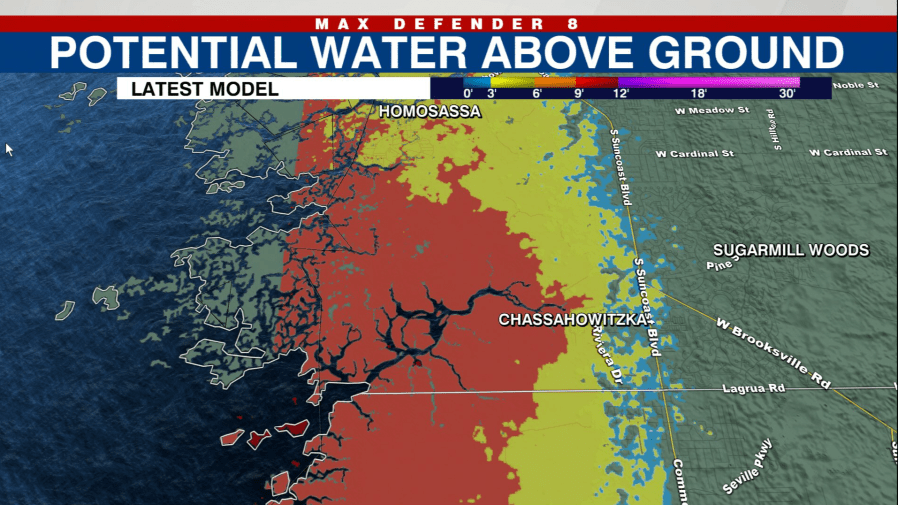
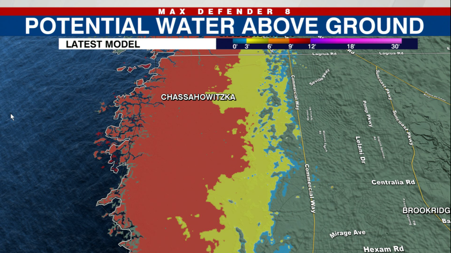
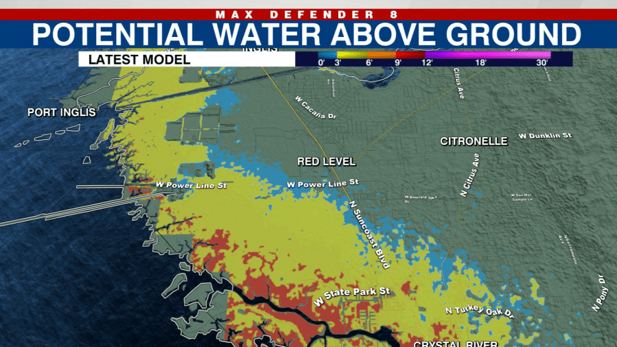
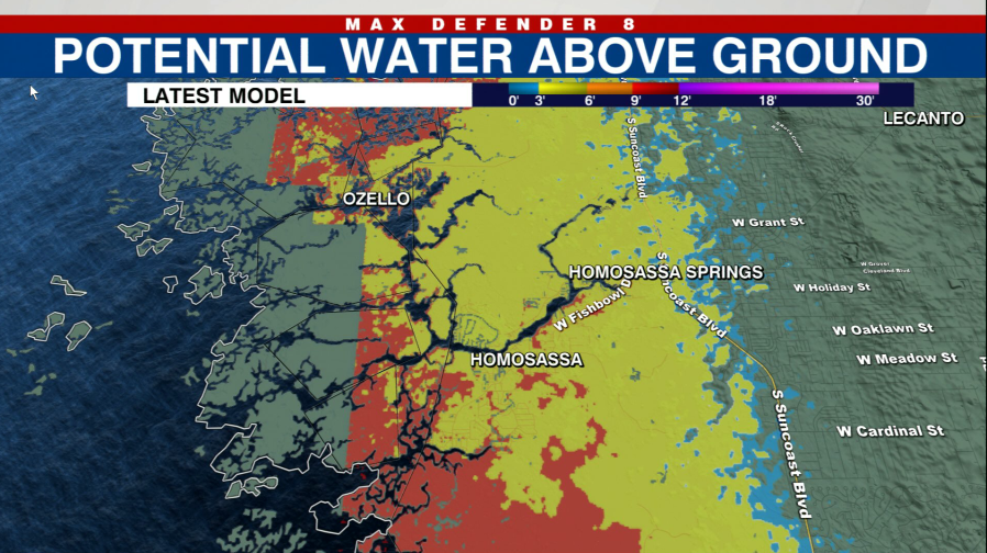
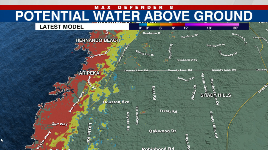
A much lower surge, if any at all, is expected in Citrus, Hernando and Pasco County.
Citrus County
Hernando County
Pasco County
